There's a moment, ten minutes after you start walking from Cala Montjoi, when every trace of civilisation disappears. No more road, no beach bars, no parasols. Just the path, the rock and the sea below. This is the Cap de Creus coastal path, and it's one of the best things you can do here out of the water.
A warning before the boots: this is not a stroll. The ground is stony, there's little shade, and the climbs and descents to the coves ask for a bit of fitness. Nothing extreme, but not canvas trainers either. That said, the routes suit almost everyone, from a short one-hour section to the full five-hour stage.
What the coastal path is
It was the trail once used to watch the coast —pirates, smuggling— and to connect the fishermen's coves. Today it's one of the most beautiful hiking routes on the Costa Brava, precisely because it hugs the sea and reaches spots you can't get to any other way.
In Cala Montjoi you're right in the middle of that path, which leaves you routes in both directions. These are the ones worth doing.
Route 1 — The l'Almadrava section (the most famous)
It's the path you can use to reach Cala Montjoi on foot when the road is closed in summer: it enters the park at l'Almadrava beach and follows the coast to the cove.
- Distance: about 4 km (one way).
- Time: 2 to 2.5 hours.
- Difficulty: moderate, with constant climbs and descents.
- The highlight: you pass Punta Falconera, a former military base whose bunkers are still visible, with views over the whole Bay of Roses.
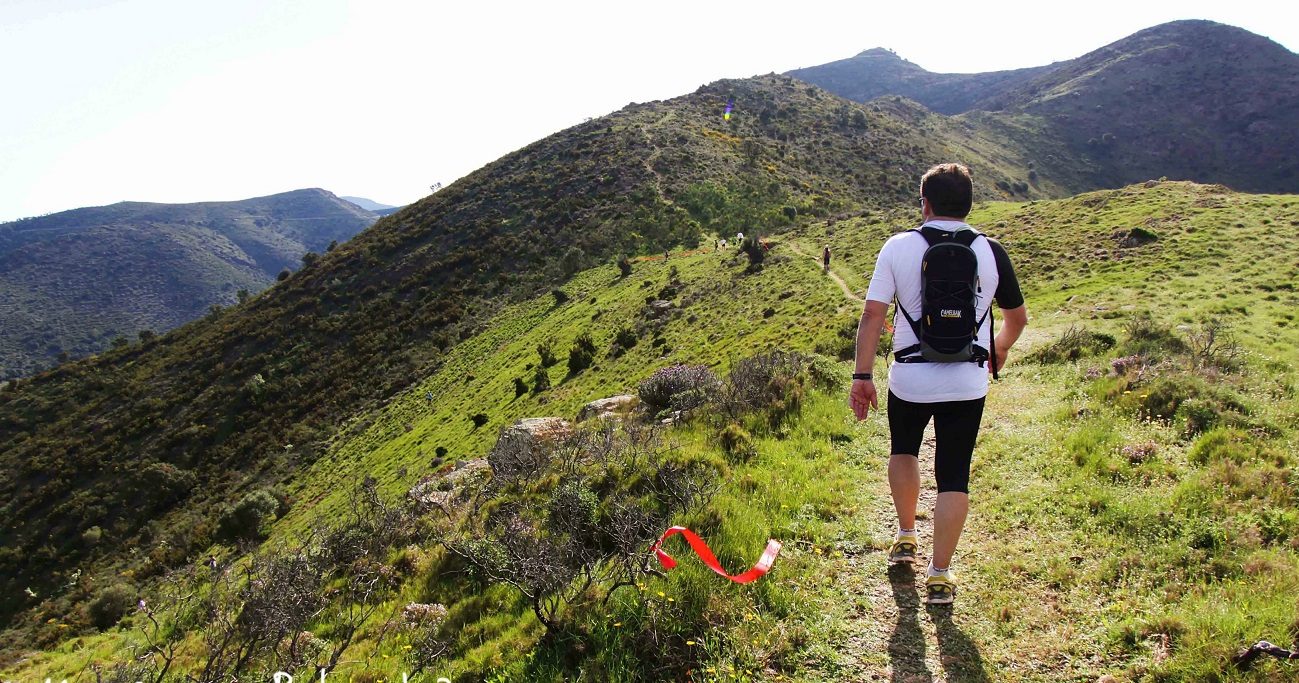
Ideal if you're staying at the cove and want to do the section in reverse (heading out from Montjoi towards l'Almadrava) on a cool morning.
Route 2 — Cala Montjoi to Cala Jóncols
The star route for those staying here. It heads south from Cala Montjoi, rounds the foot of Cap Norfeu and drops down to Cala Jóncols, one of those secluded coves that make the effort worth it.
- Distance: about 6 km each way (12 km round trip).
- Time: 2.5 to 3 hours.
- Difficulty: moderate.
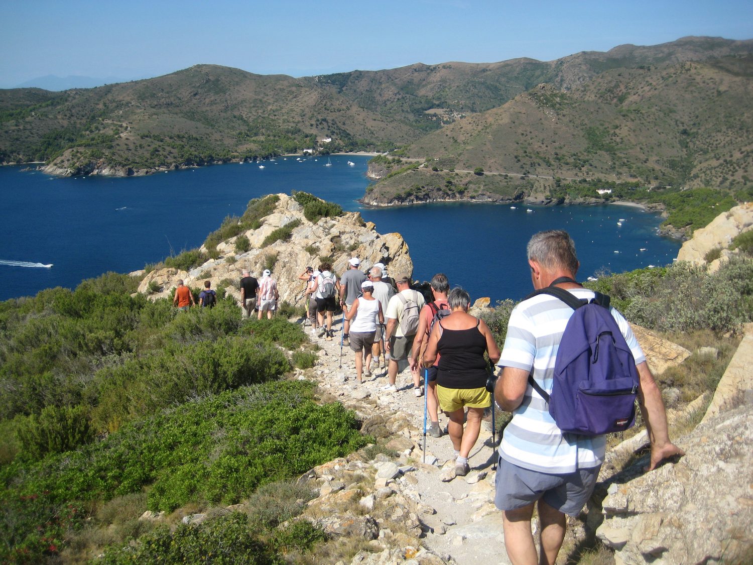
A tip: you can return via the track instead of the path, but it's 4 km longer and far less scenic. Better to go back the way you came.
Route 3 — Towards Cap Norfeu
If you want views that leave you speechless, the climb up to the Cap Norfeu viewpoint —Roses's flagship cape, a strict reserve within the park— is the route. Circular, about 4 km to the viewpoint, through Mediterranean scrub and cliffs.
Route 4 — The full stage (for keen walkers)
For those who want to really walk: stage 14 of the Camí de Ronda runs from Roses to Cala Jóncols, 15.6 km with almost 400 m of elevation gain, between 4.5 and 5 hours. It crosses the coves of Murtra, Lledó, Rostella and Montjoi itself. Not one for children or without preparation, but one of the most spectacular stages on the whole Costa Brava.
When to go (and why autumn beats summer)
Here's a truth many guides won't tell you: in the height of August, these routes are hard. Little shade, heat, and the midday sun beating on the rock. They can be done, but early in the morning.
Autumn and spring are by far the best time: pleasant temperatures, clean light and a much quieter park. A October day on the coastal path, with the tramontana just past and the sea an impossible blue, is hard to beat.
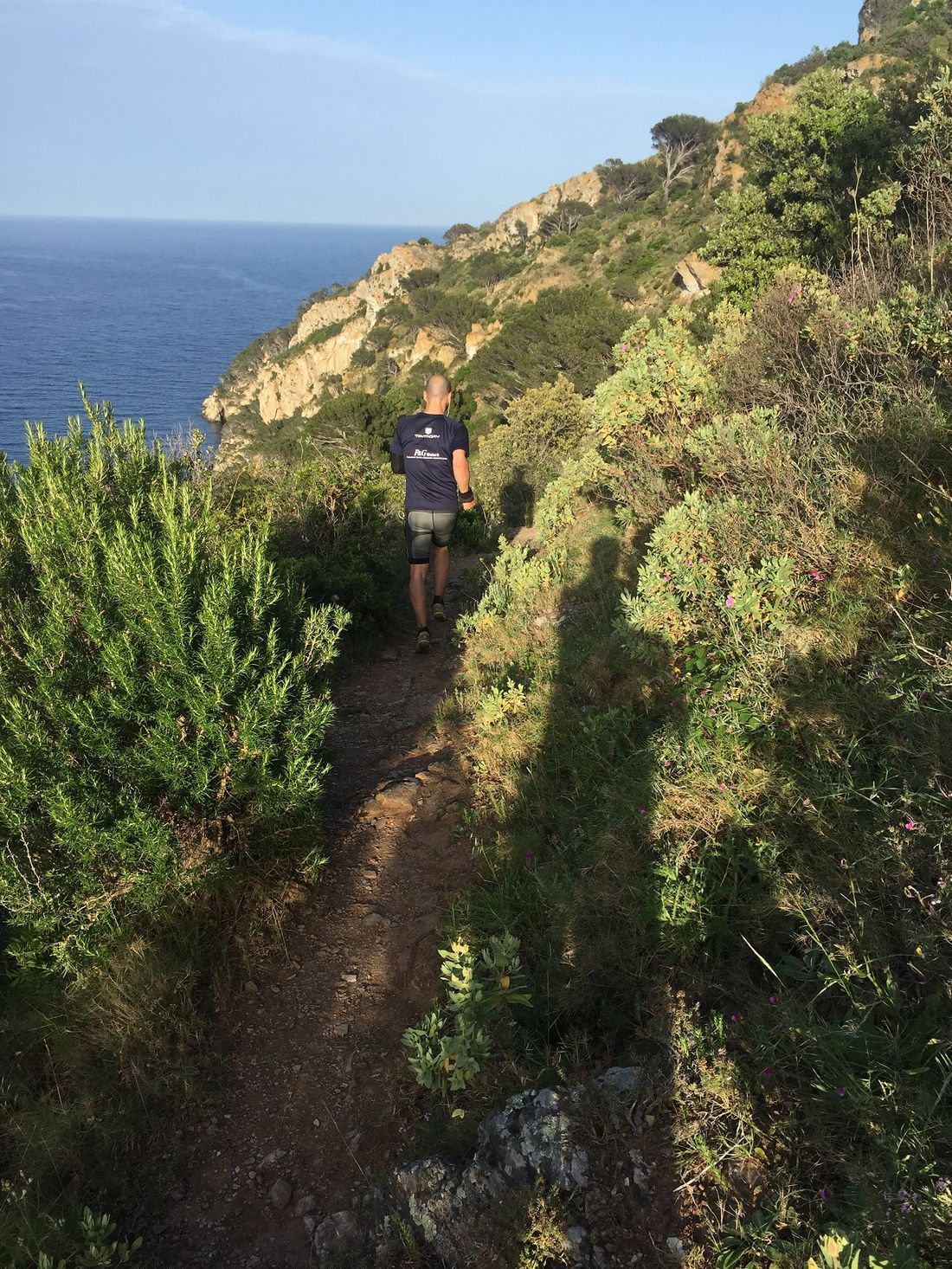
What to bring (and know)
- Closed shoes, ideally hiking boots. The ground is genuinely stony; beach shoes won't do.
- Water, more than you think. There's little shade and no fountains on the way.
- A hat and sunscreen, even in autumn.
- Download the route to your phone (a hiking app). It's signposted, but a GPS avoids scares.
- Check the Plan Alfa before you set off. When level 4 is activated for extreme fire risk, access on foot to the whole Cap de Creus massif is banned. It's the only situation in which the route can't be done.
The advantage of sleeping inside the park
Almost everyone who does these routes comes from outside: they park, walk and leave. If you stay in Cala Montjoi, you step off the path straight home —and onto the beach—. You can do the route first thing, when the path is empty and cool, and be back at the cove before anyone arrives.
Sleep in the middle of the coastal path, inside the natural park → See accommodation in Cala Montjoi
Frequently asked questions
How long does it take from Roses to Cala Montjoi on the coastal path?
About 2 to 2.5 hours on foot (one way), via the section that enters from l'Almadrava beach. It's a moderate trail, with climbs and descents.
Is the Cala Montjoi coastal path suitable for children?
The short sections yes, with proper footwear and no rush. The long routes (Cala Jóncols, the full stage) are demanding and not recommended with young children. The ground is stony throughout.
Can you walk from Cala Montjoi to Cala Jóncols?
Yes. It's about 6 km each way (12 km round trip), around 2.5 to 3 hours of walking. Moderate difficulty.
When is the best time to do the coastal path?
Autumn and spring. In summer there's little shade and it's very hot; if you go in August, do it first thing in the morning.
Do you need to bring anything special?
Hiking shoes, plenty of water (there are no fountains), a hat and sunscreen. It's worth downloading the route to a hiking app.
Can the path be closed?
Yes. When Plan Alfa 4 is activated for extreme fire risk, access on foot to the whole Cap de Creus massif is banned. Worth checking before you set off.